
These are the Best Day Hikes Near Anchorage (+ map)
I grew up in Wasilla, a town about an hour north of Anchorage. I love hiking and grew up exploring these mountains, so I know a thing or two about the best in the area.
The hikes on this list are for both beginners and those with moderate fitness. I didn’t include the more extreme hikes or any hiking that requires camping overnight. Here you’ll find the best hikes you can do in one day. Some are an hour long and others will take you over 6 hours.
You can use the table of contents to find your perfect hike. They’re arranged by location and distance from Anchorage. You can find the downloadable map at the end of the article.
Jump to..
Best Hikes in Anchorage
Let’s start right here in Anchorage. The city is surrounded by the Chugach mountains as a backdrop to the city and because of that, there are plenty of hiking options right here in town.
Flattop
➡️ Why do this hike? Popular trail, 15 minutes from downtown, views of city and Inlet
📍Distance from Anchorage: ~15 minutes from downtown
🏔 Duration: 2-3 hours, 2.9 miles, 1,315ft
⚠️ Difficulty: 🥾🥾🥾🥾
I’m starting off with the most popular hike in Alaska. What I like about this hike is that for a small fee, you can take a shuttle right from downtown. This hike starts higher up on the mountainside at the Glen Alps Trailhead, providing views during the entire hike.
It’s a moderate hike and at the end there is a rocky scramble to reach the top. Some people hike most of the trail but don’t do the last part, but if you can do it, it’s worth it for the incredible views.
Best Hikes Along Turnagain Arm
South of Anchorage is arguably one of the most beautiful drives in the United States. Along here you skirt the Chugach mountains on one side and a large inlet called Turnagain Arm on the other. Along this road there are many great hikes, but I’ll highlight the best ones in the area.
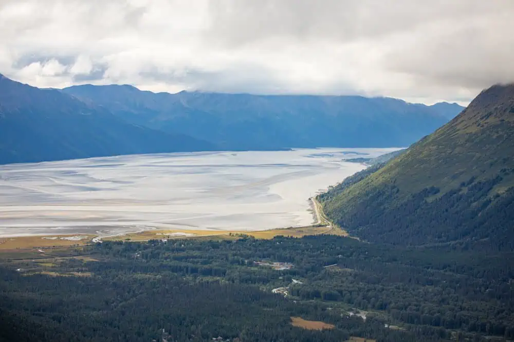
Bird Ridge Trail
➡️ Why do this hike? Epic views, steep ascent, challenging
📍Distance from Anchorage: 27 miles (34 minutes)
🏔 Duration: 5-6 hours, 5 miles, 3400ft
⚠️ Difficulty: 🥾🥾🥾🥾
This hike might just provide the best views of the Chugach Mountains. It starts off south of Anchorage at the Bird Creek Access parking lot. It’s a steep, relentless climb that covers 5 miles roundtrip with an elevation gain of around 3400 feet. It’s a popular hike for locals and is often well-trafficked (a nice feature when there’s bound to be wildlife nearby).
The best part of this hike are the incredible views of Turnagain Arm and the Chugach mountains as you make your way to the top. There are less strenuous hikes nearby such as Bird Creek Falls or even the paved path along Turnagain Arm.
Mt Alyeska
➡️ Why do this hike? Gorgeous views, most above the treeline, free tram down from top
📍Distance from Anchorage: 42 miles (54 minutes)
🏔 Duration: 3-4 hours, 4.5 miles, 2.030ft
⚠️ Difficulty: 🥾🥾🥾🥾
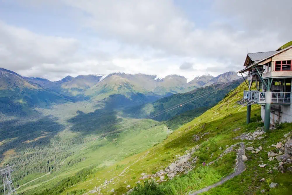
For a good burner that’s not quite as steep as bird ridge but still provides great views, this is a good day hike. This is also the only hike that has a restaurant at the top!
It starts off at the base of Mt Alyeska which is located in the town of Girdwood. This ski town is about 45 minutes south of Anchorage. You can park right at the hotel either in the main lot or at the overflow lot across the street. Make your way around to the back of the hotel and near the tram is the start of the trail.
This hike has a good incline and many switchbacks, especially toward the top. The best part of this hike is that you can take the Alyeska tram down for free instead of hiking back. There’s also the Boretide restaurant at the top of the tram, but be sure to check their hours before you go.
Best Hikes North of Anchorage
North of the Anchorage area, you again drive along the Chugach Mountains for a while and then cross the Knik River and head toward a large valley. The valley is surrounded by, you guessed it, more mountains! All along this area are plenty of fantastic hikes and these are the best in the area.
Mt Baldy
➡️ Why do this hike? Beautiful views even from the parking lot, challenging, above treeline
📍Distance from Anchorage: 19 miles (30 minutes)
🏔 Duration: 2-3 hours, 3 miles, 1,131ft
⚠️ Difficulty: 🥾🥾🥾
This hike is usually missed by tourists and remains mostly local. It starts off in Eagle River, a town about 20 minutes north of Anchorage. You’ll drive through the switchback neighborhood to the end of Skyline Drive and arrive at a large open gravel lot. From here, head to the steeper trail on the right. The hike is steep with some spots requiring your hands (there’s one spot where you climb over some boulders). Once you climb higher you’ll have many switchbacks and the trail will continue to weave until you reach the top.
Note: On a clear day you have beautiful views of Denali and the Alaska Range, even from the parking lot!
You can take the leftside trail at the entrance instead, which will take you on a longer roundabout trail. It still gets quite steep, but we somehow managed to do this with our 3 year old years ago. Just be sure to stay on the trail as it skirts a private homestead along this route.
Alternatively, you can make it a loop (recommended).
If you want a bigger challenge, you can continue to hike the ridgeline to Mile High Trailhead along Mt Magnificent. This is a 15 mile hike with nearly 6,000 feet of elevation gain and I’d only recommend it for experienced hikers.


Bodenburg Butte
➡️ Why do this hike? Short and sweet, well maintained trail, great for kids and most levels of fitness
📍Distance from Anchorage: 44 miles (49 minutes)
🏔 Duration: 1-2 hours, 2.4 miles, 738ft gain
⚠️ Difficulty: 🥾🥾
The Butte is a popular local hike. It’s short (ish) and sweet. You have two options; you can either hike the well-maintained stair side (West Butte Trail) or do the less maintained and more wild trail side (Sandvik Family Trail or Butte Trailhead). There are different parking areas for each trail as they are on opposite sides of the butte.
I prefer the West Butte Trail on the stair side personally but it does tend to get busier, which for Alaska that means there may be a few people in front of you. There’s a large parking lot and public restrooms on this side. The beginning of the trail is a wide gravel trail, then you’ll reach the stairs and make your way up. It’s a good little burner but it’s also a great hike for kids too. Our 4 year old always loved this hike.

Lazy Mountain
➡️ Why do this hike? Challenging, long, incredible views
📍Distance from Anchorage: 47 miles (50 minutes)
🏔 Duration: 4-6 hours, 6 miles, 3,000ft gain
⚠️ Difficulty: 🥾🥾🥾🥾
This mountain is anything but lazy. It’s a 6 mile out and back hike with a nearly 3,000 foot elevation gain and three false summits (I warned you). There are sections that are steep enough that you need to grab a tree trunk to get up, but, with moderate fitness it’s fine. This hike will take a few hours and you’ll want to bring snacks and plenty of fluids.
This hike starts out in the trees then around halfway in you reach the treeline and start the false summits. The views up here are stunning and it’s one of my favorite challenging day hikes in the area. I have seen moose on this trail before and there’s always the possibility of bears.
Gold Cord Lake Trail
➡️ Why do this hike? Short but incredible views
📍Distance from Anchorage: 59 miles (90 minutes) at Hatcher Pass
🏔 Duration: ~1 hour, 1.7 miles, 521ft gain
⚠️ Difficulty: 🥾🥾
This is my favorite quick hike near Anchorage. This hike is located at Hatcher Pass, a large state park about 90 minutes north of Anchorage. The entire area is loaded with hikes, lakes, rivers, and gorgeous scenery. Many hikes here (this one included) are above the treeline so you can much more easily spot wildlife.
The hike starts at Independence Mine State Historical Park (which I recommend adding on to your hike) and slowly ascends up. You’ll pass some boulders and reach an old abandoned cabin. There is one steep section but there are switchbacks as you skirt the cliff for a bit until reaching the top.
At the top is a small glacial-fed pond. There are always tons of ground squirrels and the occasional marmot. It’s a great hike for kids and beginners wanting a little challenge.


Reed Lakes
➡️ Why do this hike? Great views, serene, technically challenging, Alpine lakes
📍Distance from Anchorage: 58 miles (90 minutes) at Hatcher Pass
🏔 Duration: 5-7 hours, 9 miles out and back, 2,300ft gain
⚠️ Difficulty: 🥾🥾🥾🥾
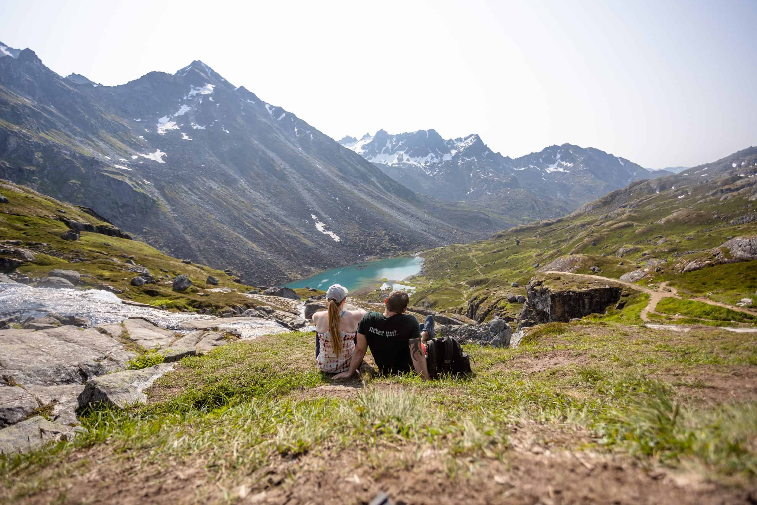
Oh how I love this hike. You cross boulder fields, a small stream/lake (yeah, you’ll probably get wet), see a gorgeous waterfall, and get stunning views of both Lower and Upper Reed Lakes.
It’s a long hike and usually takes us anywhere from 5-7 hours with stops, breaks, and jumping in the water at the lake.
For the boulder field, a little trick to stay on the trail is to look for the ‘dirty’ or discolored rocks. You’ll see a clear path emerge. This part may be too much for smaller children and dogs (I’ve seen many dogs get too scared to cross because of the rushing river below the boulders) so approach with caution. If you only make it to the boulder field, though, it’s still a nice hike just to this spot.
This is a very popular hike with limited parking. To get here head down ‘Archangel Road’. I don’t recommend crossing the bridge to park as the potholes are really bad, so turn left on the gravel road before you turn for the bridge and just walk up that part. Parking fills fast, so arrive early (before 9am is ideal)


Marmot Mountain
➡️ Why do this hike? steep and short,
📍Distance from Anchorage: 59 miles (1hr 20 min) at Hatcher Pass
🏔 Duration: 3-3.5 hours, 2.6 miles, 1,948ft
⚠️ Difficulty: 🥾🥾🥾
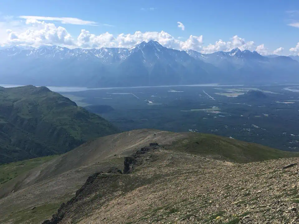
Marmot Mountain is short but deceptively intense, packing serious elevation gain into a relatively small distance. The climb is steep from the onset with some parts having loose gravel. It’s a popular ‘quick’ day hike for locals and the views are incredible.
As with many hikes in Hatcher Pass, the entire hike is in brush above the tree line.
Below is a winter image of the ridgeline (which people hike and ski in the winter months!)

Hatcher Pass Hikes
I listed a few of my favorite hikes at Hatcher Pass but there are SO many in this state park. It’s truly a mecca for hiking. In fact, I have a list of the best Hatcher Pass hikes in this article.
Other great hikes include Gold Mint Trail, which is relatively flat and treed for quite a while. If you completed the entire hike it would cover 16 miles roundtrip. There’s a hut at the end you can camp in for free on a first-come first-served basis.
My other favorite hike I didn’t mention is April Bowl and Hatch Peak loop. The reason I didn’t mention this hike is because it’s located up at Summit Lake on a gravel road, and most rental companies don’t allow you to drive up here. If your rental allows it, though, I highly recommend this hike! You’ll have the highest views around and it’s a fun loop around some small lakes. It’s steep on both sides of the loop but in my opinion it’s very manageable.
There’s also a connecting ridgeline to take you to Blueberry Knoll Trail, another popular hike at Hatcher Pass that starts at the entrance of the park.


Albert Loop & The Eagle River Nature Center
➡️ Why do this hike? Many trail options, incredible views, serene
📍Distance from Anchorage: 26.5 miles (33 minutes)
🏔 Duration: ~2 hours, 3.2 miles, 344ft gain
⚠️ Difficulty: 🥾🥾🥾🥾
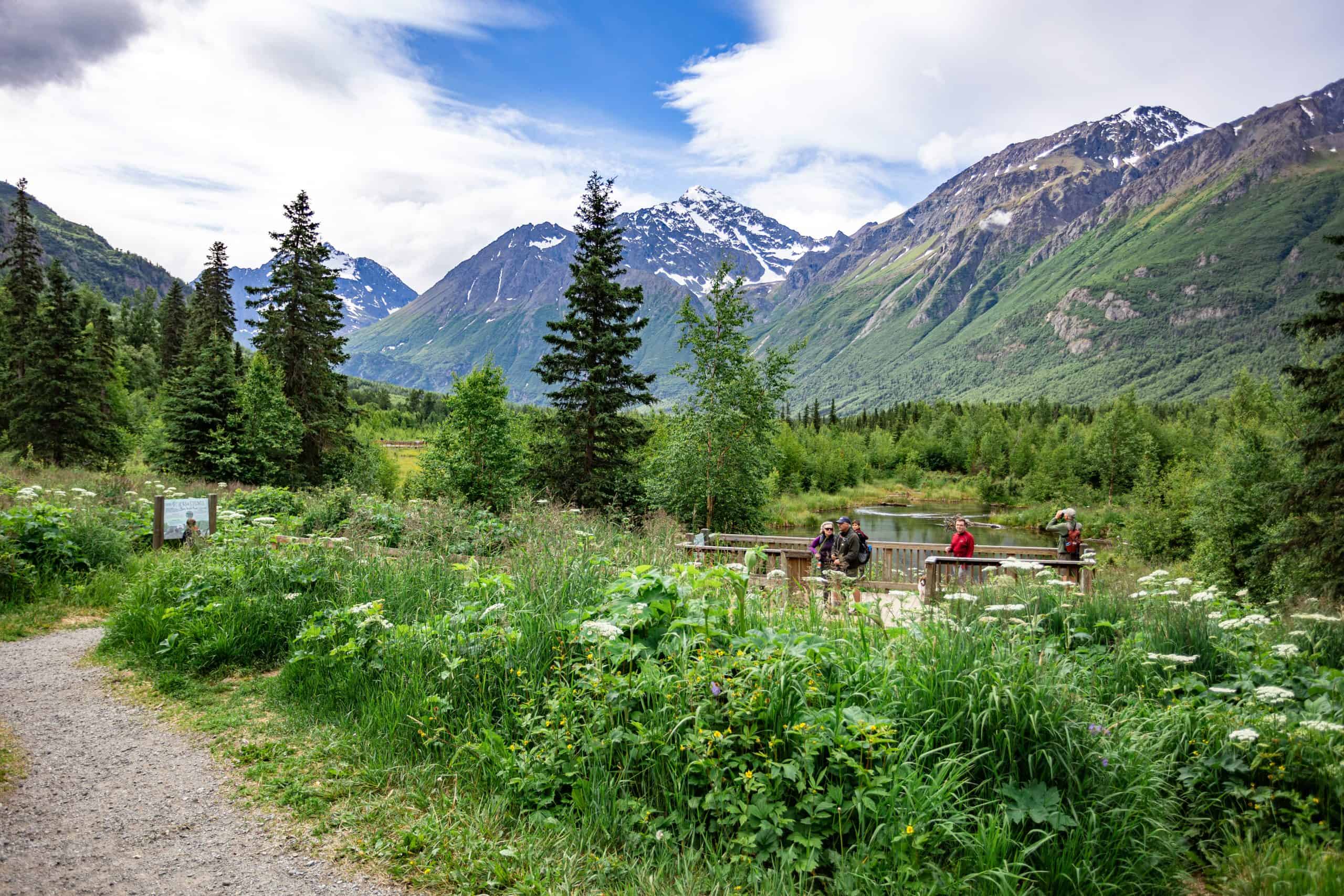
Albert Loop is located at the Eagle River Nature Center. To get here you’ll drive to the end of the beautiful Eagle River Road. Eagle River has a special place in my heart as this is where we lived for 6 years and raised our young kids. This mountainous valley is absolutely stunning, and I honestly had trouble picking just a few photos of the nature center because WOW its gorgeous here.
Once you park and pay the $5 fee, head to the cabin to read notices on recent wildlife sightings (this is a bear hotspot) and stop in if it’s open to chat and learn about local wildlife. Then head past the cabin to the trail. If you parked at the lower lot no worries! Just head up to the cabin or go straight onto the trail.
There’s a nature playground here with teepee’s made of sticks and trees, and some stumps carved into a mushroom table. It’s cute and the kids always love running around it.
You can simply walk a half-mile to the boardwalks then turn back, or do the full Albert Loop and cross all the boardwalks. Once you’re in the woods you’ll eventually make your way to Eagle River. There are many other trails here and signs/maps are posted at the entrance. This is where you can start (or end) at the famous Crow Pass Trail, a 23-mile one-way trail from Girdwood to Eagle River.
This is a popular location for locals and is growing as a spot for tourists. But don’t worry, there’s plenty of parking and I’ve never had an issue finding a spot anytime of day.



Twin Peaks at Eklutna
➡️ Why do this hike? Great views of the lake above the tree line
📍Distance from Anchorage: 42 miles (1 hour)
🏔 Duration: 2 hours, 2.5 miles, 1,800ft gain
⚠️ Difficulty: 🥾🥾🥾
Twin Peaks is a lesser-known but stunning alpine hike overlooking Eklutna Lake. It’s popular with locals seeking big views without the crowds found on more popular trails. This trail starts off treed then as you ascend you reach open tundra with beautiful views.
Many people stop at the first bench, but you could continue on to the second bench and even summit Pepper Peak (a much longer hike).
To get here drive to Eklutna Lake and take the trail across the bridge to Lifetime Adventures where kayaks and bikes are available for rent. From there you’ll see the trail for Twin Peaks.
Easy Hikes
There are some nice, mostly flat trails that reward you with beautiful views while getting some fresh air. Here are my favorites.
Reflections Lake
➡️ Why do this hike? Easy and mostly flat, just off highway, beautiful views
📍Distance from Anchorage: 32 miles (34 minutes)
🏔 Duration: ~45 minutes, 1.3 miles, 55ft gain
⚠️ Difficulty: 🥾
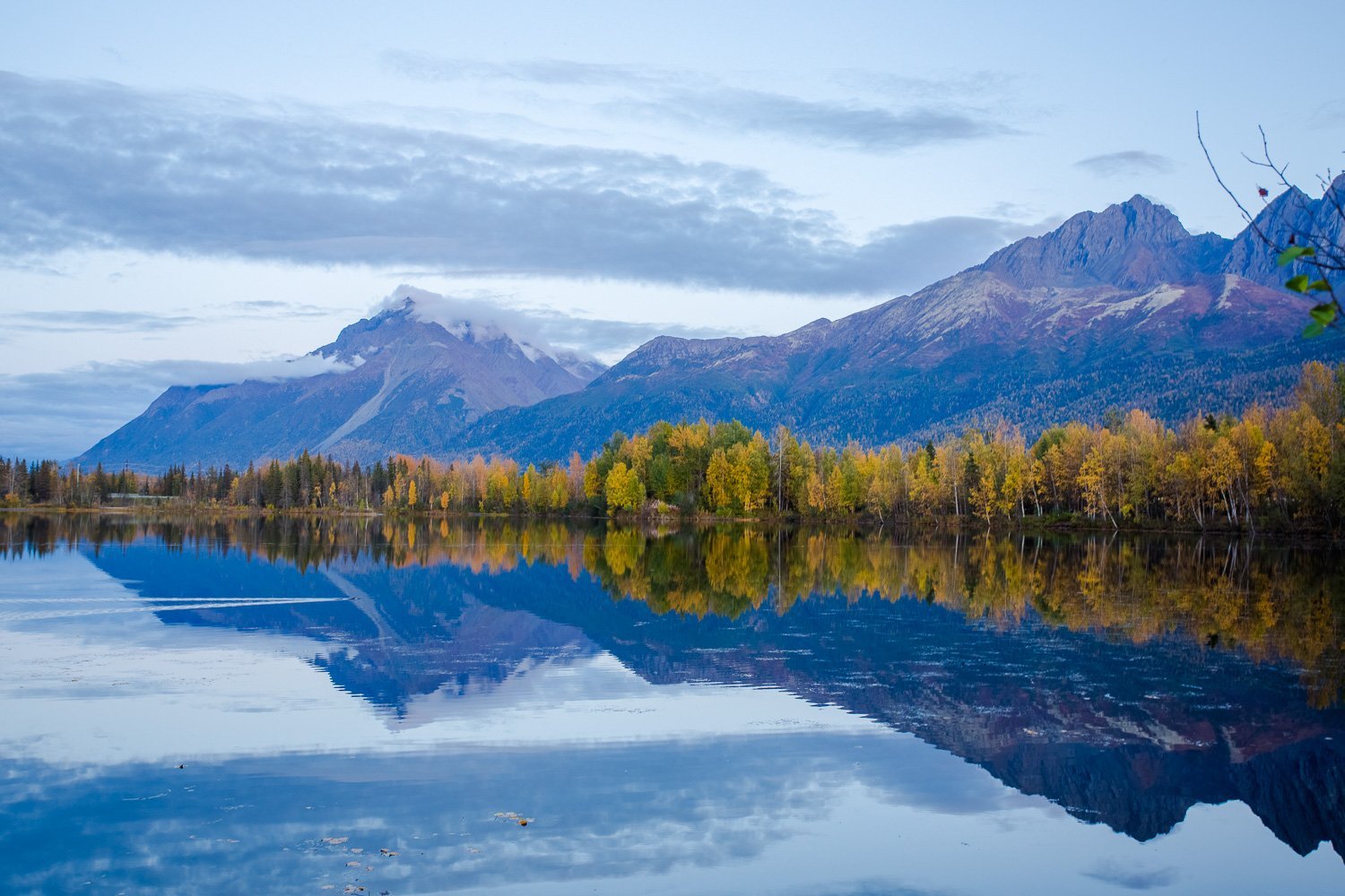
This short 1.3 mile hike is right off the highway and a great place to stretch your legs. It’s a nice little loop and right around the halfway point there’s a 3 story tower you can climb for 360 degree views of the valley and Knik River.
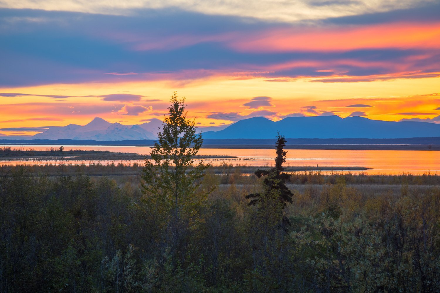
On a nice day, the reflection of the mountains is absolutely incredible (hence the name).
This is a great trail for kids and you can even bring a stroller (trail tires needed for the dirt trail). Parking typically isn’t an issue as you can park anywhere along the dirt road.

Eklutna Lake Trail
➡️ Why do this hike? Nice views of the lake, easy
📍Distance from Anchorage: 42 miles (1 hour)
🏔 Duration: 30 minutes to a few hours
⚠️ Difficulty: 🥾
Eklutna Lake trail is a flat trail that skirts one side of the 7-mile long Eklutna Lake. It’s popular for biking because it’s so long. ATV’s are allowed Sunday – Wednesday, so I recommend only walking along this trail from Thursday to Saturday. Arrive early as parking fills quickly.

Eklutna Tailrace
➡️ Why do this hike? Quick and right off the highway, good for limited mobility
📍Distance from Anchorage: 34 miles (37 minutes)
🏔 Duration: ~ 1/2 mile
⚠️ Difficulty: 🥾
Eklutna Tailrace is not located at Eklutna Lake. Instead it’s further down the highway off the Old Glenn Road (you can simply use Google to find this parking area). It’s not actually a hike but there’s a nice path across the foot bridge you can walk for a while.
The reason I recommend it is because the views are incredible and it makes for a great spot to get some family photos. Just be sure to respect everyone fishing in the area.

Barbara Falls
➡️ Why do this hike? Easy, beautiful waterfall
📍Distance from Anchorage: 17 miles (23 minutes). Hike begins at South Fork Falls Trailhead in Eagle River
🏔 Duration: 30-60 minutes, ~1 mile, 190ft gain
⚠️ Difficulty: 🥾
Barbara Falls is one of the easiest and most rewarding short hikes near Anchorage, making it especially popular with families and casual hikers. The short trail leads through a peaceful forest before ending at a picturesque waterfall.
This is a popular year round hike that turns into an icefall in the winter. The parking area is small and you’ll want to search ‘South Fork Falls Trailhead’ in Google Maps.
Winner Creek
➡️ Why do this hike? Easy, gorge
📍Distance from Anchorage: 42 miles (54 minutes)
🏔 Duration: 2-3 hours, 4.3 miles, 761ft gain
⚠️ Difficulty: 🥾
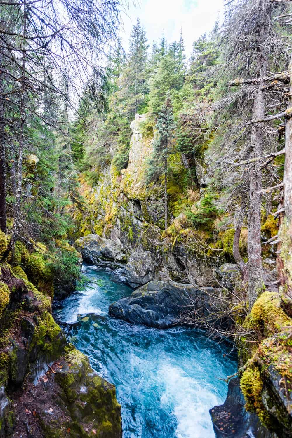
This trail is located at the base of Alyeska Resort in Girdwood. It’s different from the other hikes in that you’re not climbing up a mountain, but rather walking through lush Sitka Spruce and vegetation, so much that you may forget at time that you’re in Alaska. This area is actually part of the temperate rainforest in Alaska – yes, Alaska has a rainforest!
This is a popular hike and also a popular spot for mountain biking. It’s hilly and has many boardwalks to cross. At the end you’ll be rewarded with a beautiful gorge. There used to be a hand tram that was removed, but they are working on a new bridge to cross.

Map of Hikes and Parking Areas
Common Questions and Concerns About Hiking in Alaska
I’m worried about bears, is it safe to hike? Everyone will have different comfort levels when it comes to hiking and bears. While crossing a bear is always a possibility, most people never encounter a bear on a hike (myself included). The worst thing you can do is scare a bear, so make noise and chat or sing to yourself, especially in treed areas where it’s hard to see. Hiking in the Hatcher Pass area is generally safer because many hikes are above the tree line so it’s much easier to spot wildlife. And on weekends all of the hikes I listed will have quite a few people on the trails. If you’ll feel safer with bear spray, you can pick some up at just about any grocery or sports store around.
What Should I Wear? Alaska can swing 20-30 degrees F on a summer day, so I always recommend layering before you head out. A rain jacket isn’t totally necessary unless you hate getting wet. Often (not always) if it rains it’s a drizzle and not a downpour. I recommend light pants versus shorts to protect yourself from mosquitoes and other bugs that bite. A ball cap is great for the angled sun and of course sunglasses help too.
What Should I Bring? Always bring water and some extra snacks. For longer hikes bring more drinks and snacks. Be sure to grab some mosquito repellant. I gave up on the organic stuff and just go for DEET now. And maybe a change of socks in case your feet get wet. Wipes come in handy whether it’s for your hands or…other things. Just be sure to follow the Leave No Trace rules.
Do The Trails Get Busy? Alaskans will tell you how crowded the trails get, but let’s be honest, they’re talking about crowds for Alaska…which often means a few other people on the trail. The biggest issue you’ll run into is limited parking at some locations, and I indicated in the information which ones have limited parking. Your best bet is to head out earlier than everyone else (before 8:30 is a safe bet).
More Alaska Articles
The 5 Most Scenic Road Trips Across Alaska
The Best 12 Day RV Alaska Itinerary
An Incredible 14 Day Alaska Summer Itinerary
The Perfect 2 or 3 Day Homer, Alaska Itinerary [from an Alaskan]
Katmai National Park: Everything You Need to Plan Your Trip to Brooks Falls
The Coolest VRBO’s in Alaska
The Ultimate Alaska Summer Packing List
15 Best Things to do in Seward
Your Ultimate Guide: The Best Time of Year to Visit Alaska
17 Perfect Day Trips from Anchorage
19 Fun Family-Friendly Kid Activities in Alaska
Have a Few Hours in Anchorage? Here’s What to Do
The Perfect 10-Day Alaska Road Trip + Itinerary
Alaska Packing List: Essential Items for Your Summer Vacation
Things to do in Girdwood [Alaska] + Itinerary
How to Travel Alaska on a Budget
Should I Visit Seward or Homer Alaska (or both)?
20 Unforgettable Experiences in Alaska